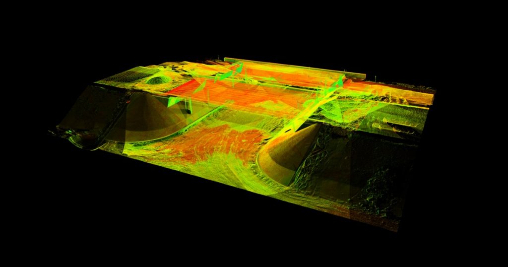
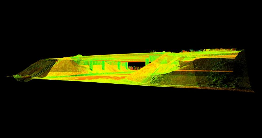
Post-construction inspection of Tallinn ring road’s ecoduct using laser scanning
The aim of the work was to perform a post-construction inspection of the ecoduct that allows animals to cross the road.
The ecoduct of Tallinn ring road and its surroundings in Saku municipality were measured using the laser scanning method. The 3D model of the point cloud generated was compared against the design of the ecoduct.
Laser scanning was done with a
- Leica ScanStation P20 laser scanner, line measurement error ≤1 mm, angle measurement error 8”
- Leica Cyclone and CloudCompare were used for processing the point cloud data.


